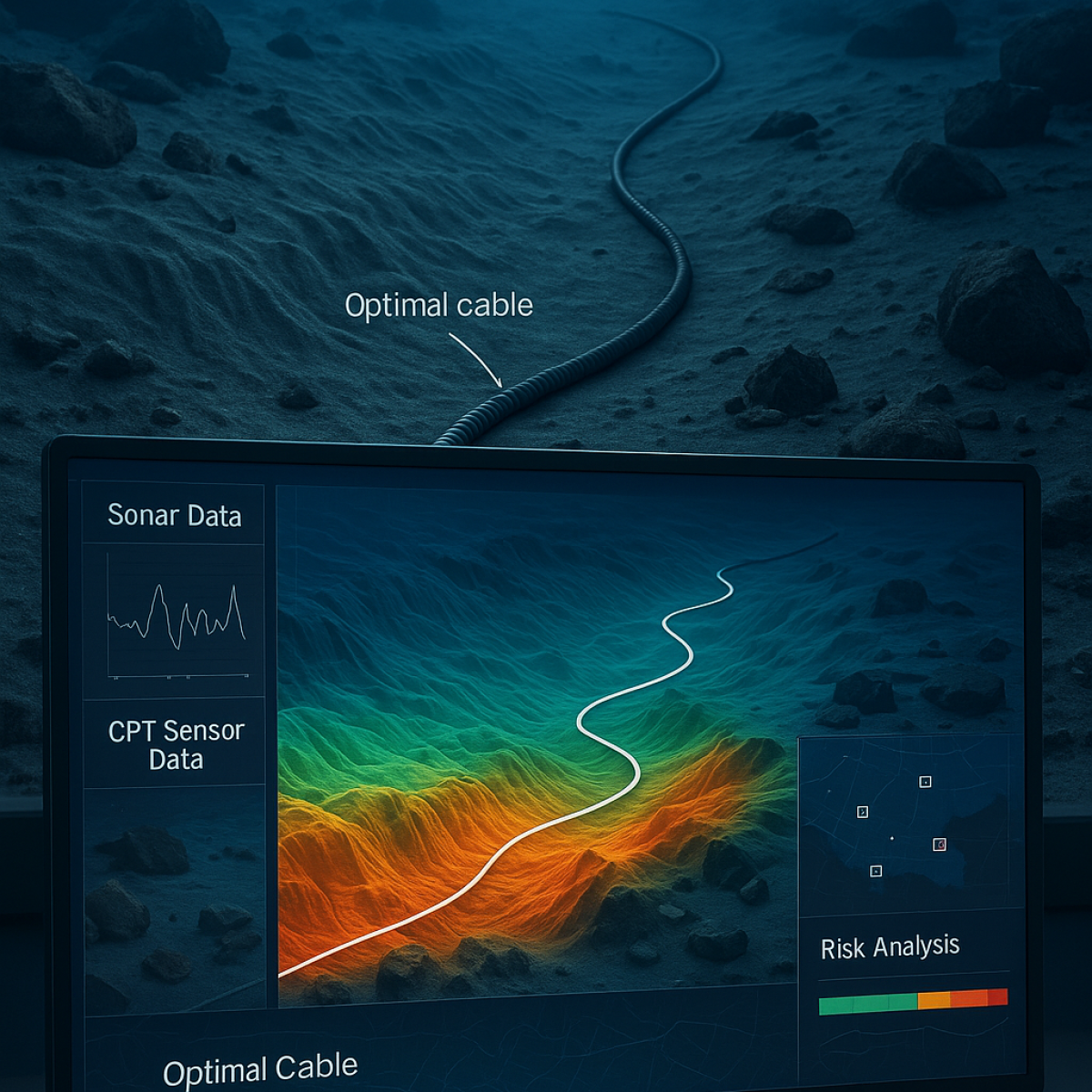

Planning subsea cable routes is currently a time-consuming process requiring manual review of massive sonar and sensor datasets. There’s a clear need to automate and streamline this process to improve efficiency, ensure precision, and reduce human error – especially in areas with complex seabeds or hidden hazards.
The project uses machine learning and cloud-based analytics to automatically identify optimal cable routes. The system analyzes:
– Real-time sonar and CPT sensor data
– Large-scale geophysical and geotechnical datasets
– Detection of subsea objects such as rocks, shipwrecks, and UXO
The result is a decision support tool that automates route identification, risk analysis, and planning based on seabed conditions and cable requirements.
Contact us to discuss your project.